UN
8 Stonewood Road
£ 233,000
Description
We don't have a Description for this property.
- Bedrooms
- 2
- Bathrooms
- 0
- Furnished
- true
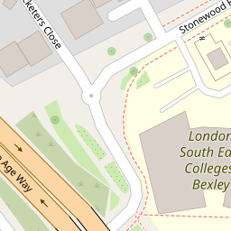

Leaflet © OpenStreetMap contributors
The heatmap indicates the level of crime in the area. The color of the heatmap indicates the crime severity and recency.
Metrics Year-on-Year
- Average area value
- 355,283.00 £Increased by 7.59 %
- Average area rental value
- 1,737.00 £/moIncreased by 15.72 %
- Est rental Yield
- 5.87 %Increased by 7.71 %
- Crime Rate
- 19.00 %Unchanged by 0.00 %
from 330,234.00 £
from 1,501.00 £/mo
from 5.45 %
from 19.00 %
Nearby Schools
| Name | Type | Ofsted | Distance |
|---|---|---|---|
| West Street Children'S Centre | Children's Centre | 0.49 KM | |
| Christ Church (Erith) Cofe Primary School | Academy Sponsor Led | Outstanding | 0.63 KM |
| Woodside Academy | Academy Special Converter | 1.36 KM | |
| Peareswood Primary School | Academy Converter | Good | 1.40 KM |
| King Henry School | Academy Sponsor Led | 1.47 KM |
Images
Nearby Streets
| Name | Average Price | Average Sqft | Distance |
|---|---|---|---|
| William Cory Promenade | £ 0 | 0 | 0.00 KM |
| Bronze Age Way | £ 0 | 0 | 0.00 KM |
| Colebrook Street | £ 232,500 | 0 | 0.00 KM |
| Britannia Close | £ 0 | 0 | 0.00 KM |
| Hardwick Court | £ 0 | 0 | 0.00 KM |
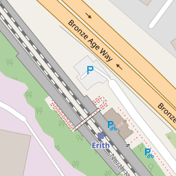
Nearby Transport
| Name | NLC | TLC | Distance |
|---|---|---|---|
| Erith | 5104 | ERH | 0.19 KM |
| Slade Green | 5154 | SGR | 2.22 KM |
| Barnehurst | 5089 | BNH | 2.69 KM |
| Belvedere | 5092 | BVD | 2.91 KM |
| Crayford | 5100 | CRY | 3.79 KM |
Nearby Listings
| Address | Price | Type | Score | Distance |
|---|---|---|---|---|
| Flat 26, Wharf House, 1 West Street, Erith, Kent | £ 137,500 | BUY | 5 / 10 | 0.07 KM |
| Cricketers Close, Erith, DA8 | £ 220,000 | BUY | 4 / 10 | 0.09 KM |
| Cricketers Close, Erith, Kent, DA8 | £ 175,000 | BUY | Unknown | 0.12 KM |
| West Street, Erith, Kent | £ 150,000 | BUY | 5 / 10 | 0.12 KM |
| Cricketers Close, Erith, DA8 | £ 110,000 | BUY | 4 / 10 | 0.12 KM |
Nearby Properties
| Address | Price | Distance |
|---|---|---|
| 12 Stonewood Road | £ 238,000 | 0.00 KM |
| 16 Stonewood Road | £ 120,000 | 0.00 KM |
| 8 Stonewood Road | £ 233,000 | 0.00 KM |
| 10 Stonewood Road | £ 142,000 | 0.00 KM |
| 9 West Street | £ 265,000 | 0.07 KM |